Skip to main content
Culture Fly
Find Events
Watch Videos
Submit Event
Videos
Find & Rent Space
SpaceFinder
Get Events by email
Login
SpaceFinder Baltimore
Search
Find Events
Choose your destination...
Exhibitions
Performances
Lectures & Workshops
History & Heritage
Nightlife
Outdoors
More
Featured Events
April 11
JUXTAPOSE | A Theatrical Shadow Box
Abeo String Quartet with Shriver Hall Concert Series
Emanuel Ax, piano at Shriver Hall Concert Series
JUXTAPOSE | A Theatrical Shadow Box
ST. JOHN THE BAPTIST
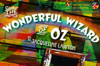
The Wonderful Wizard of Oz
Sunday, April 12, 2026, 2:00 PM – 4:00 PM
More
Featured Events
This Week
Matisse in Vence: The Stations of the Cross
Saturday, April 11, 2026, 10:00 AM – 5:00 PM
FOR WOMEN SERVING TIME
Saturday, April 11, 2026, 7:30 PM – 10:00 PM
Mary Ellen Mark: Ward 81
Saturday, April 11, 2026, 12:00 PM – 5:00 PM
More
Culture Fly Supporters